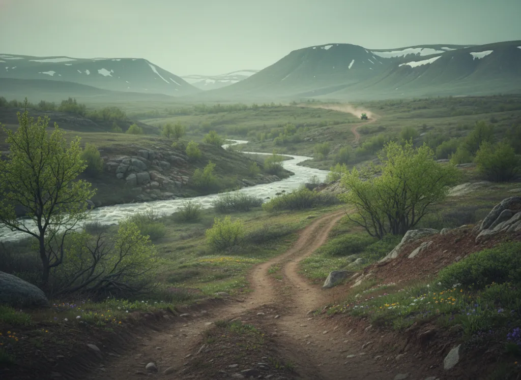
The Holy Cross 4WD trail system in the White River National Forest covers the technical mining-era roads of the Mount of the Holy Cross wilderness area flanks and the Minturn-Red Cliff corridor in Eagle County, Colorado: the mountain country between Vail and Leadville, at the heart of the central Colorado Rockies where the White River, Gore Range, and Sawatch ranges converge. Core trails include the Holy Cross Road (FR 759), the Red Cliff to Homestake Reservoir route, and the network of historic mining access roads through the Battle Mountain district. The terrain is characteristic central Rockies high country: subalpine spruce-fir forest from the valley floors at 8,000 feet up to treeline around 11,500 feet, rocky mining-era roads that follow the creek drainages and cross the exposed alpine tundra on the higher sections, and the dramatic topographic relief of the Eagle River valley system where the roads climb steeply from the valley bottoms to the ridge terrain. The Holy Cross Road is particularly well-known for its technical rock sections and the consequential exposure on the narrower passages, the trail is rated black diamond on most 4WD rating systems and regularly destroys underbuilt vehicles. Full-size 4x4 Jeeps and high-clearance trucks are the predominant vehicles; experience with technical mountain driving and a functional recovery kit are genuinely required rather than suggested. The Eagle River Ranger District of the White River National Forest (970-827-5715) manages the road system and posts current seasonal status, gate schedules, and damage reports. Dispersed camping is available under standard National Forest 14-night limits.
Hours
Accessible approximately late June through mid-October depending on snowpack. No day-use fee on National Forest land. Colorado OHV registration required.
Phone
970-827-5715Trip openings, seasonal updates, and the occasional deal, straight to your inbox.
FAQ
Everything you need to know before you get started.
Have a question, or ready to book? Reach out and we’ll get right back to you.